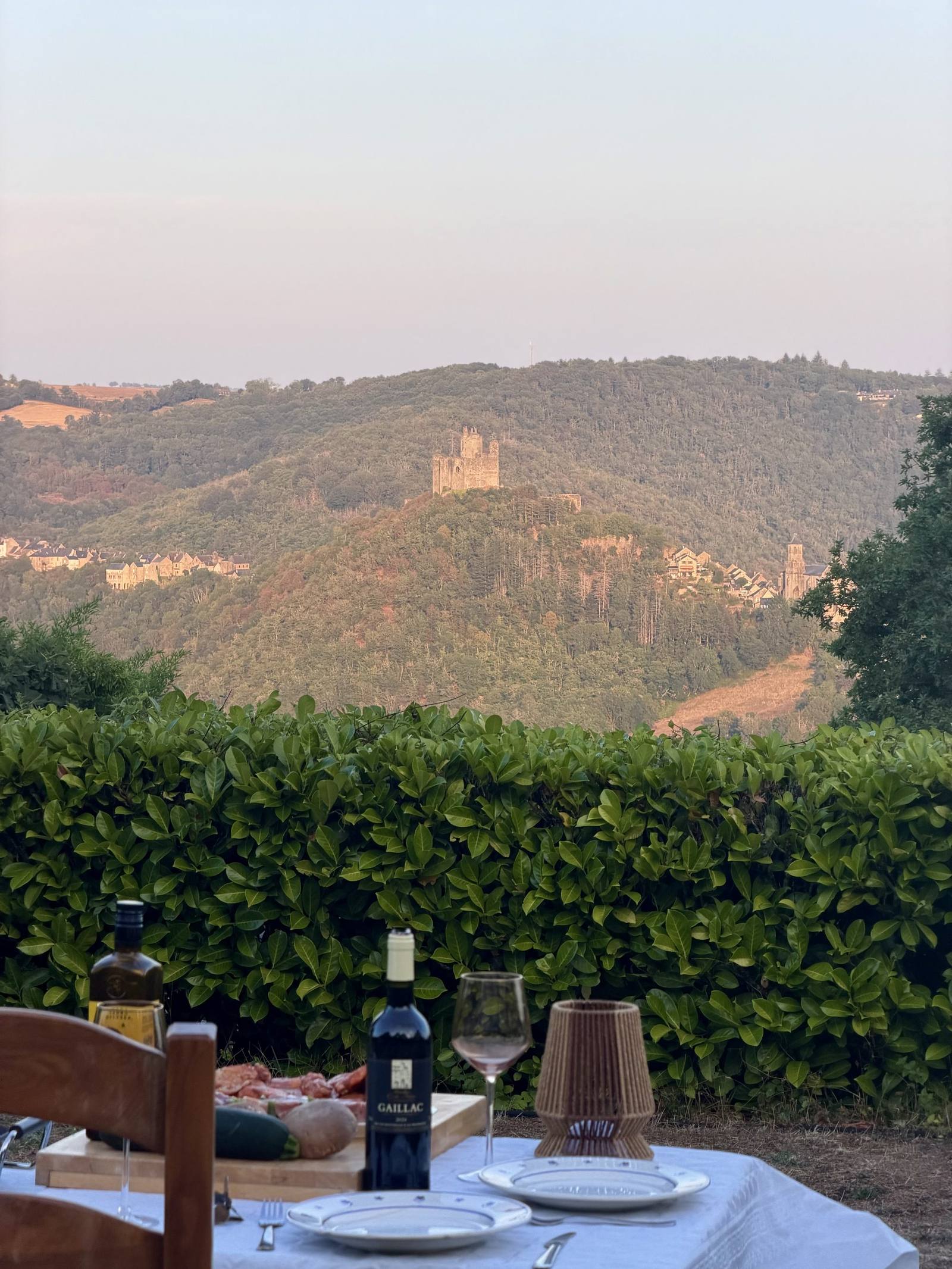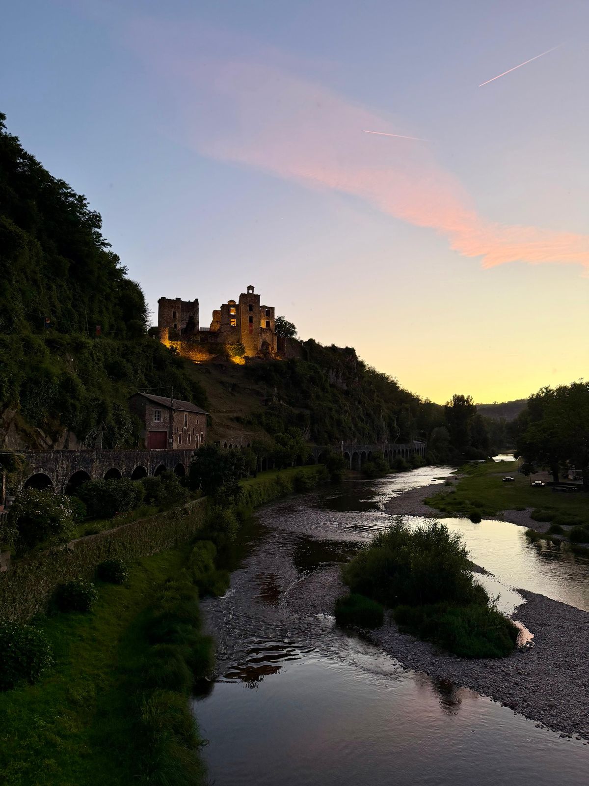
The Aveyron valley reveals another side of Najac: woodland paths, riverbanks and views of the fortress from the surrounding hills. These landscapes can be explored on foot, by bike or from the water. Treetop courses and river activities offer other ways to enjoy the outdoors around the village.
Where to find walking routes around Najac
The tourist office lists walking routes around Najac, with maps, GPX files, starting points and difficulty ratings. The routes explore different landscapes, from the banks of the Aveyron to the woods and hills around the village.
- Balade du ruisseau de la Vernhe: 4.2 km, about 1½ hours. A circular walk via the Gabanel fountain, the river and the village.
- Les Fontaines, route no. 4: 4.8 km, about 2 hours. A walk around Najac with descents and climbs between the fountains and the valley.
- Le petit tour de Mergieux, route no. 7: 6.1 km, about 2½ hours. A circular walk in the Mergieux area, through woodland and valley scenery.
These are the official route timings, excluding stops.
Canoeing and kayaking on the Aveyron
From the water, the valley looks different: riverbanks are at eye level, with trees and slopes framing the view. Canoeing and kayaking are among the activities available in the Aveyron gorges. Starting points and distances vary between routes.
Paddleboarding and rafting nearby
Paddleboarding involves standing on a board, while rafting takes place in a shared inflatable boat. Both appear among the regional tourist office’s outdoor activities. Opportunities vary with location, season and water levels; the activities do not all take place on the same stretch of river.
Treetop courses in Najac
The treetop courses offer a different perspective on the woodland, with bridges, obstacles and zip lines between the trees. They reveal a side of Najac’s forest above the walking paths.
Cycling and mountain biking
The hills around Najac offer mountain biking terrain, while some routes follow the riverbanks. The green route no. 1, Le Long de la rivière, is 11.6 km long, with a listed cycling time of 1 hour 15 minutes. The cycling and mountain biking route guide includes different levels and opportunities for electrically assisted cycling.
The village and its surroundings
Najac’s fortress and streets belong to the same landscape as these trails and rivers. Our day trips from Najac also include Laguépie and Saint-Antonin-Noble-Val. For a stay here, discover our rooms overlooking the fortress.
Frequently asked questions
Where can I find walking maps for Najac?
The Bastides et Gorges de l’Aveyron tourist office website has route maps, starting points, difficulty ratings and GPX files.
How long are the walks around Najac?
Examples include the Vernhe walk at 4.2 km and about 1½ hours, Les Fontaines at 4.8 km and about 2 hours, and Mergieux at 6.1 km and about 2½ hours, excluding stops.
Which outdoor activities are available around Najac?
Walking, canoeing, kayaking, treetop courses and mountain biking are among the options. Paddleboarding and rafting are also offered in the region, depending on location and conditions.
Published 15 October 2026 · Text updated and official sources consulted on 15 October 2026.